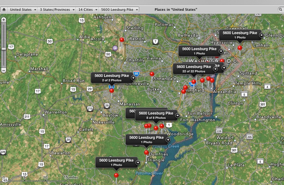
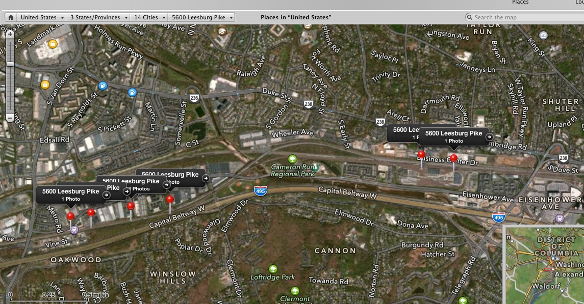
Here is another example, on a wider scale. The issue here is the mysterious 5600 Leesburg Pike. According to the map softare in Aperture (3.5.1 now) this street address is all over Northern VA, DC and MD. Northern VA includes suburbs such as Alexandria, Manassass, Woodbridge, Dale City, Stafford, MetroRail, etc. Some pictures had iphone GPS while others were taken with a Nikon without GPS. Images were either originally correct GPS, or moved to the location on the map by dragging the image into the map to create the pin (when the map was zoomed in as close to the ground as possible.) Much later, the set of images across various projects now have pins with the same labeled street address.
When using the location menus to select locations (if there are multiple locations), these are also not correct. The list of options appear realated to the contents of the project afected, and do not provide the correct street address for the label. Removing the pin and replacing the pin does not alter the label either. 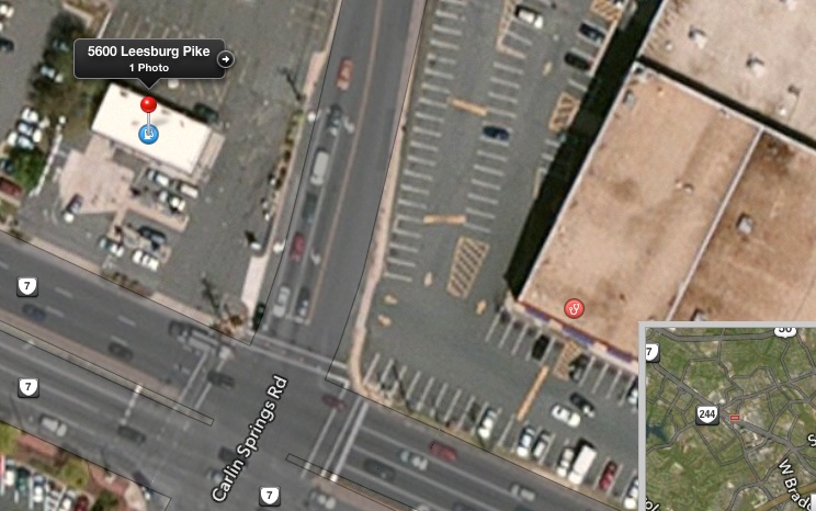
The above is the only correct location for 5600 Leesburg pike 🙂
The following are a subset of those labeled incorrectly as 5600 Leesburg Pike:
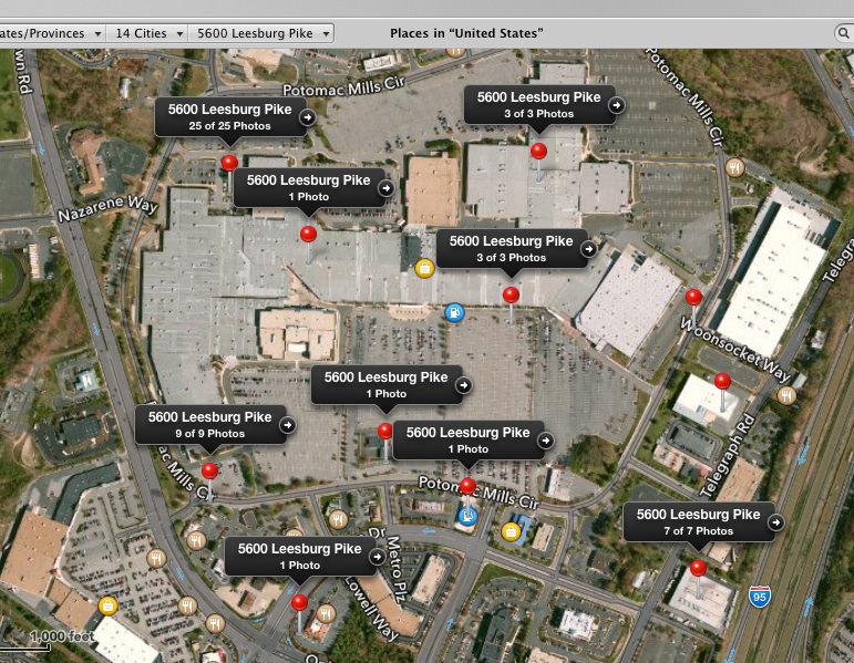
The above is Potomac Mills Mall, Woodbridge, VA.
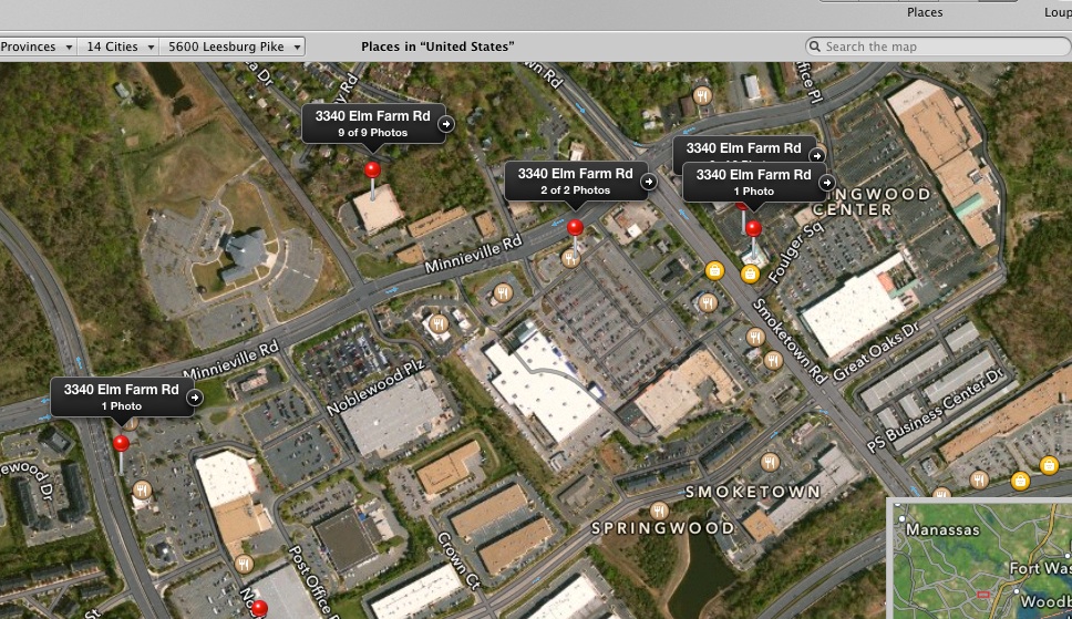
This is another street address that is wrong, in Dale City/Woodbridge, VA.
Here, 5600 Leesburg Pike is located on many points on the Blue Line of DC's Metrorail