Lost my 15 minute edit window...
I'm not disputing that you see no difference in two specific images. But at a different level of detail, on a different network, connected to a different CDN region, possibly on a different platform, web browser, etc., all bets are off.
Edit: Here's a good example.
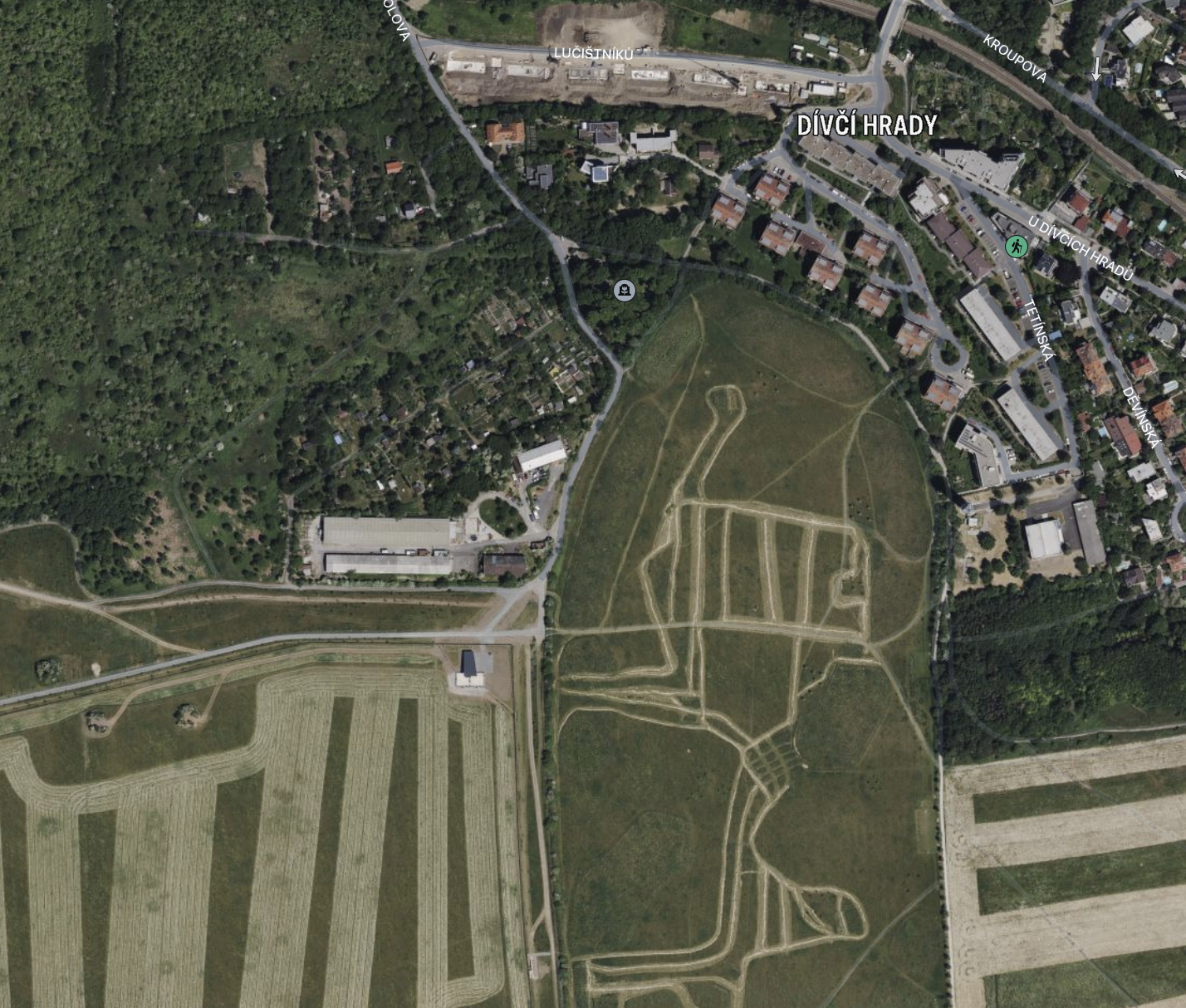
DuckDuckGo, using Apple Maps, in Safari on Monterey, from Canada looking at the outskirts of Prague:
Same location, using Apple Maps, the App, on Monterey, from Canada:
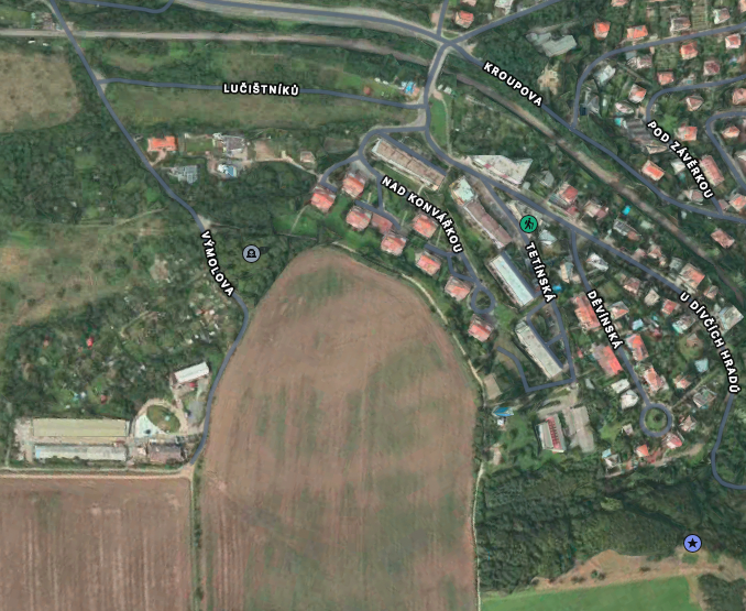
I don't know which of these is more current. They might both be current. These could be farm fields where one just happened to be in the middle of harvest that day. But they are most definitely different imagery.
Actually, I see a new building in the web version, so that's definitely newer by at least the time it takes to build a new building.
And maybe I have another category - Apple is its own worst enemy.
As I zoom way in using Apple Maps, I eventually get to a 3D view of this scene. Look's nice too. I now know it's old data, but 3D! Cool! But if I zoom back out, eventually I get a lower-resolution version that looks more like the web version. (Due to my farm field theory, I can't confirm it is newer.)
But my point is, I think Apple is making a point to use imagery that matches its 3D views, even if that is older. They don't seem to mind the significant changes in imagery at a lower level of detail. But once you get low enough to where you could compare with 3D, Apple is going to use data that matches the 3D data. Since that super-high resolution 3D data is much more difficult to get, that means that Apple's moderately-high resolution data is probably always going to be older than it would be on the web, where there is no 3D view.